What Is ‘Behind The Shot’?
To me, photographs are strengthened by having a good story to support them. At its core, photography is the art of capturing memories and those memories deserve to be told & shared. With this new concept I want to tell people that story. I want to share what effort, struggle and sometimes luck is behind the publishing of that single image you might see in your social media feed. Every month I will be sharing one photograph which has a good story, a deeper meaning or a struggle behind it.
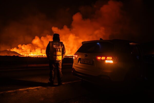
The 2021 Geldingadalir eruption gave me one of my favourite shots of all-time. I named the photograph Hraunhjarta, “lava heart” in Icelandic, and curiously didn’t sit down to edit it until much later. This is its story, told here in my “Behind The Shot” series. As you can imagine, I took an enormous amount of photographs during the 2021 eruption as it lasted for six months. Even today, I still haven’t selected or edited every photograph from that eruption.
The Geldingadalir eruption is my favourite eruption of all those I have captured to date. It has a special place in my heart.
Finding New Angles
In the first few weeks of the Geldingadalir eruption, it really struck me how many of the eruption photographs I saw on social media were similar. They were shot from the same angle, using a similar camera and focal length and even framed in the same way. It seemed as if people were copying each other, trying to replicate content that seemed to help generate reach. I found it sad. To me, this event was so beautiful and unique that it deserved more. It deserved to be celebrated from all angles instead of being reduced to just another social media post.
That’s exactly the reason why I decided to take it up as a challenge to find different angles. I visited the area whenever I could, sometimes several times per week. With every visit, I envisioned a different shot or a new angle I wanted and did everything I could to get it. On some occasions I hiked 20+ kilometres in one evening, just to reach a different vantage point. This strategy eventually led me to create a unique book about this eruption, which showed the same event from numerous different angles, celebrating its uniqueness.
At the end of April, when the activity condensed into one massive crater, things became even more challenging. How was I going to keep photographing the same object, the same erupting crater, differently each time?
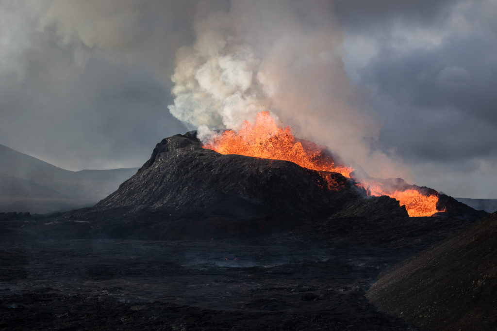
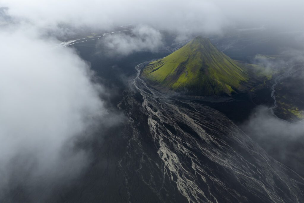
One by one the craters of the Geldingadalir eruption began shutting down, until all activity consolidated into one massive crater. That crater is now one of the tallest mountains in the area.
“Wouldn’t It Be Cool If …”
One avenue I hadn’t really explored much was drone photography. While I had flown my drone a few times, it wasn’t really my focus. In the early days of the eruption, it felt unique that you could actually stand at ground level next to an erupting cone. This meant that in the first weeks of the eruption, I focused a lot on using my camera. I wanted to use the opportunity to the fullest. However, as the lava field grew larger, the distance to the action became larger. When the last path to get close to the craters got cut off, I started focusing more on the usage of my drone.
This really opened up new angles to me. Quickly I began realising that we had never really seen a volcanic eruption from the unique perspective a drone can give us. While aerial views of eruptions weren’t new, drones allowed us to get closer and produce top down views without getting into danger yourself.
I began thinking… “Wouldn’t it be cool if we could see the inside of what goes on in an active crater?”
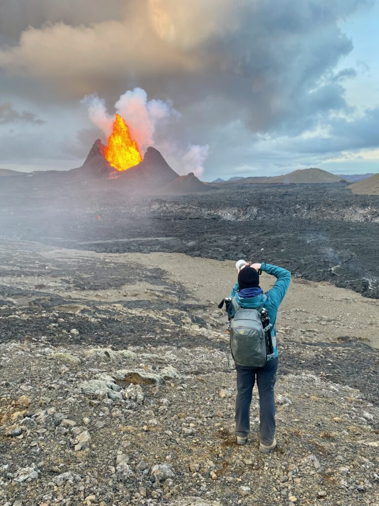
I spent a lot of time hiking around the area, capturing the same crater from different angles. All that time I kept wondering what it would look like on the inside.
How Close Could I Get?
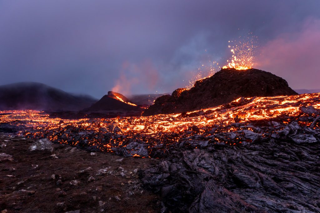
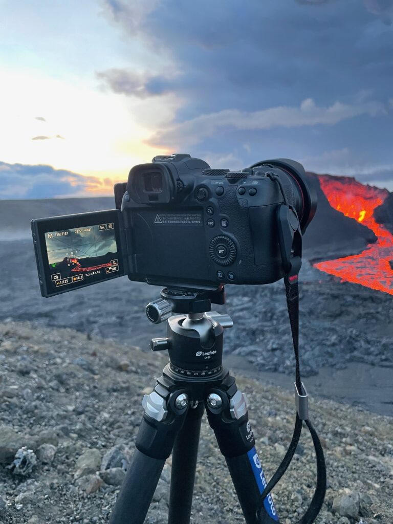
But how could I capture that? We didn’t have quality zoom lenses on drones available and, at that time, the activity had evolved into the phase where the crater produced lava fountains, which reached up to 400 metres high! Even when the fountains didn’t reach such heights, the heat emanating from the crater was so enormous, that it would be really difficult to shoot straight down into the crater. To get good quality shots, I would also have to fly very low. That meant I had to fly only a few metres above the crater rim, as I wanted to get them by shooting it as a 3-shot vertical panorama. To make it more interesting, I chose to fly during twilight so the contrast between the solidified lava and the fresh lava would be even greater.
On one very windy day, I decided to take the risk. By that time, the closest we could get to the crater was about 800 metres. With the limited battery life on my DJI Mavic 2 Pro, it meant that I had to time it really well when to take off. I decided to try and shoot when the lava fountain had started to diminish. That would mean I could reach the crater when the inside of the crater would still be coated in fresh lava. I was also anticipating (or hoping) that because of the harsh wind, the heat would dissipate faster.
As I noticed the lava fountain began slowing down, I began flying out to the crater. Because of the wind, I had spent a lot of battery trying to get there. Fortunately, I had timed my attempt well: the lava in the crater had begun flowing back into the vent. I quickly hovered above the crater and began shooting. I captured about 3 versions of this photograph, while also capturing a short 30 seconds clip of the insides of the crater, before I began flying back. With 3% battery life remaining, I managed to get my drone back.
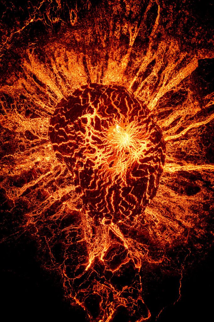
This photograph is a vertical panorama, which I stitched together out of 3 separate images. It was really challenging to get this close to the crater without damaging my drone.
This image was taken using the DJI Mavic 2 pro (https://geni.us/jvn-mavic2pro).
To this date, it’s one of my favourite photographs of that eruption. The shape of the inside of the crater is very curious. While some think it looks like the sun, to me it resembles a beating heart with veins leading outwards. It’s almost as if this crater is breathing life into the new landscape. It’s a symbolic photograph to signify that such eruptions are not only destroying, they are also creating. Shaping an earth that will be here long after we are gone. The photograph went on to win an Excellence award as part of the Silver award in the Nature category of the FEP Awards 2023.
Want To Fly A Drone Over Iceland’s Volcanoes With Me?
If this story makes you want to send your own drone above an erupting crater, my drone photography workshops run on the south coast and Snæfellsnes peninsula and time well with the next Reykjanes eruption cycle.
DISCOUNT
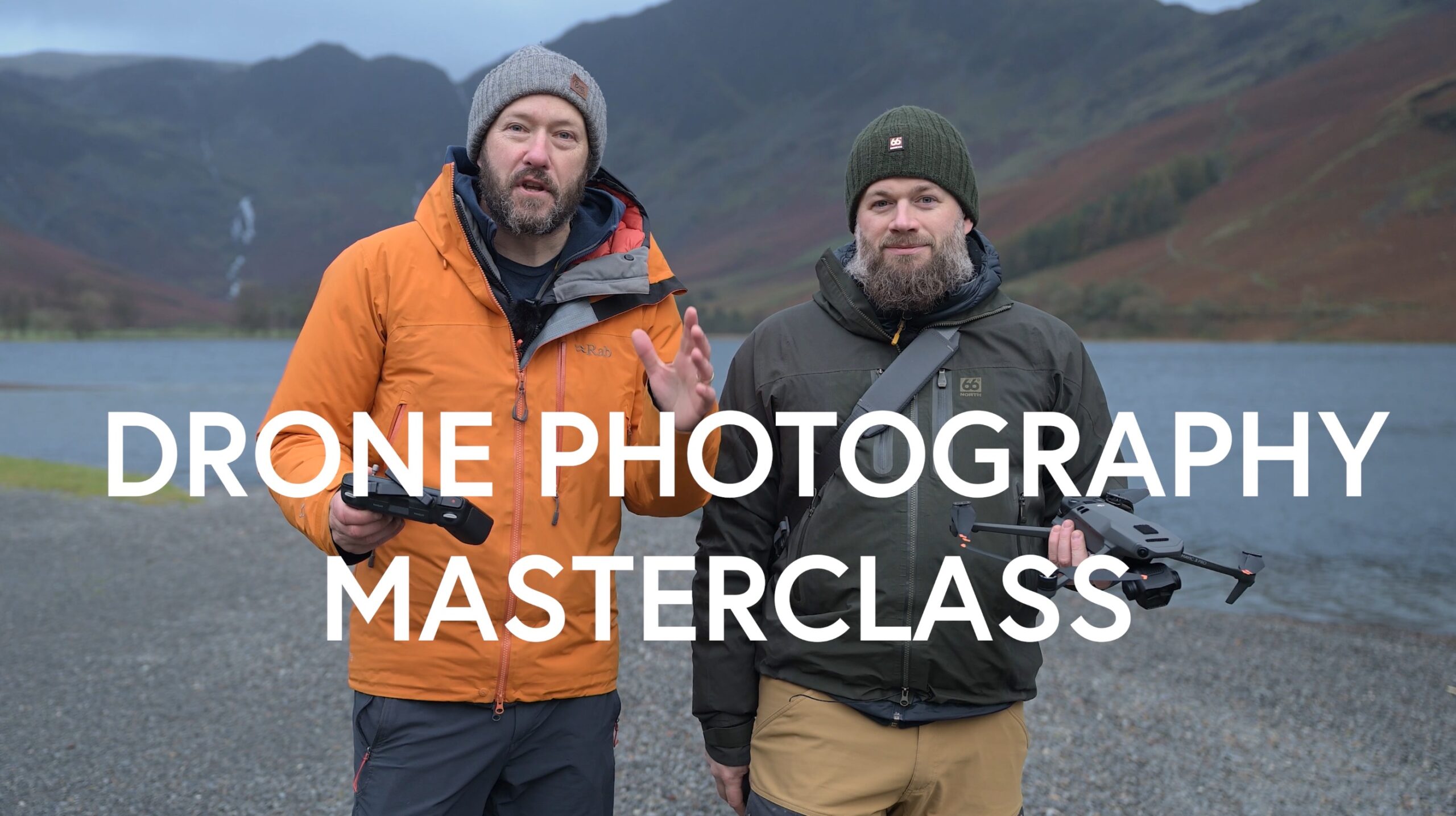
The Drone Photography Masterclass – Video Course
Nigel Danson & Jeroen Van Nieuwenhove‘s complete drone photography video masterclass will explore everything you need to know to start creating the best aerial photographs using any type of drone in 50+ detailed videos. Whether you are a complete beginner or an advanced drone pilot, this video course contains a vast amount of information to level up your drone photography skills.
What Students Say About The Drone Masterclass
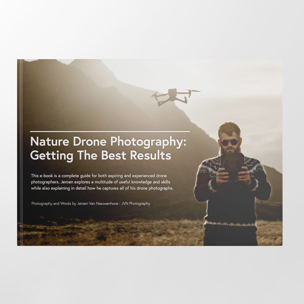
Learn Drone Photography With My E-Book
Want to learn how to get the best results with your newly purchased drone? I wrote the most comprehensive guide available on drone photography which teaches you a technique to get the DSLR-like results out of even the cheapest drones.
In 125 detailed pages I explore everything you need to know to start creating the best photographs using any type of drone. Whether you are a complete beginner or an advanced drone pilot, this e-book contains a vast amount of information to level up your drone photography skills.
What to Expect?
- A 125-page educational PDF about nature drone photography with very detailed explanations
- Which drone to get for photography and why
- Important settings and configuration options
- A list of useful skills & tips
- A list of useful accessories and what not to buy at all
- How to research locations for drone photography
- How to compose with a drone and insight into Jeroen’s thought process with plenty of examples
- Thoughtfully planning ahead for your drone shoot
- The how and why of creating bracketed images
- The how and why of shooting HDR panoramas
- What challenges you might face and how to deal with them
- Common mistakes & how to deal with them
- How to stitch your panoramas together
Use EBOOK20 to get 20% off your Nature Drone Photography (E-Book) purchase!


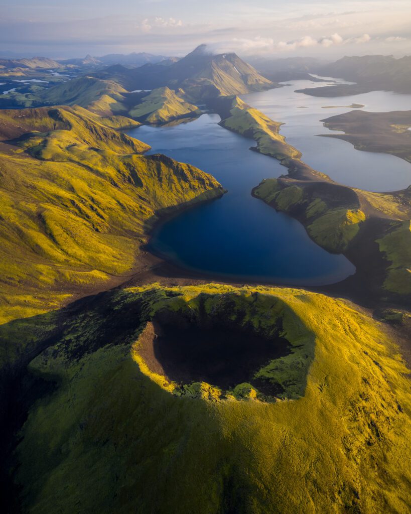
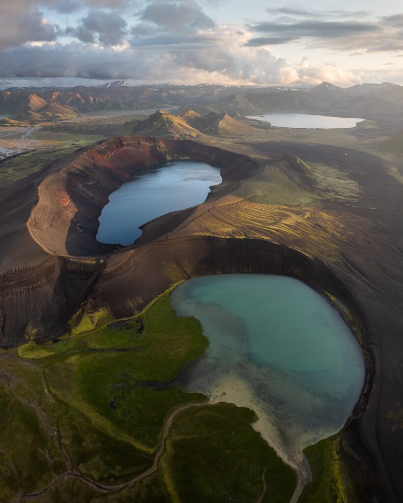
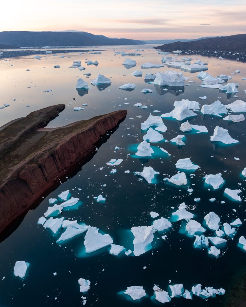
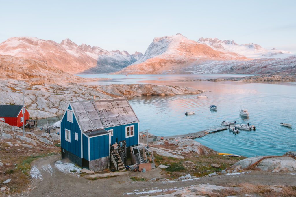
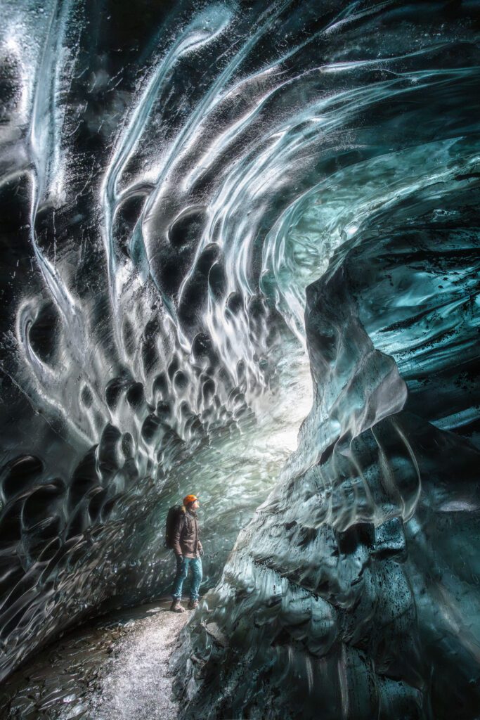
Discover Jeroen’s Photo Workshops in Iceland, Greenland & Beyond
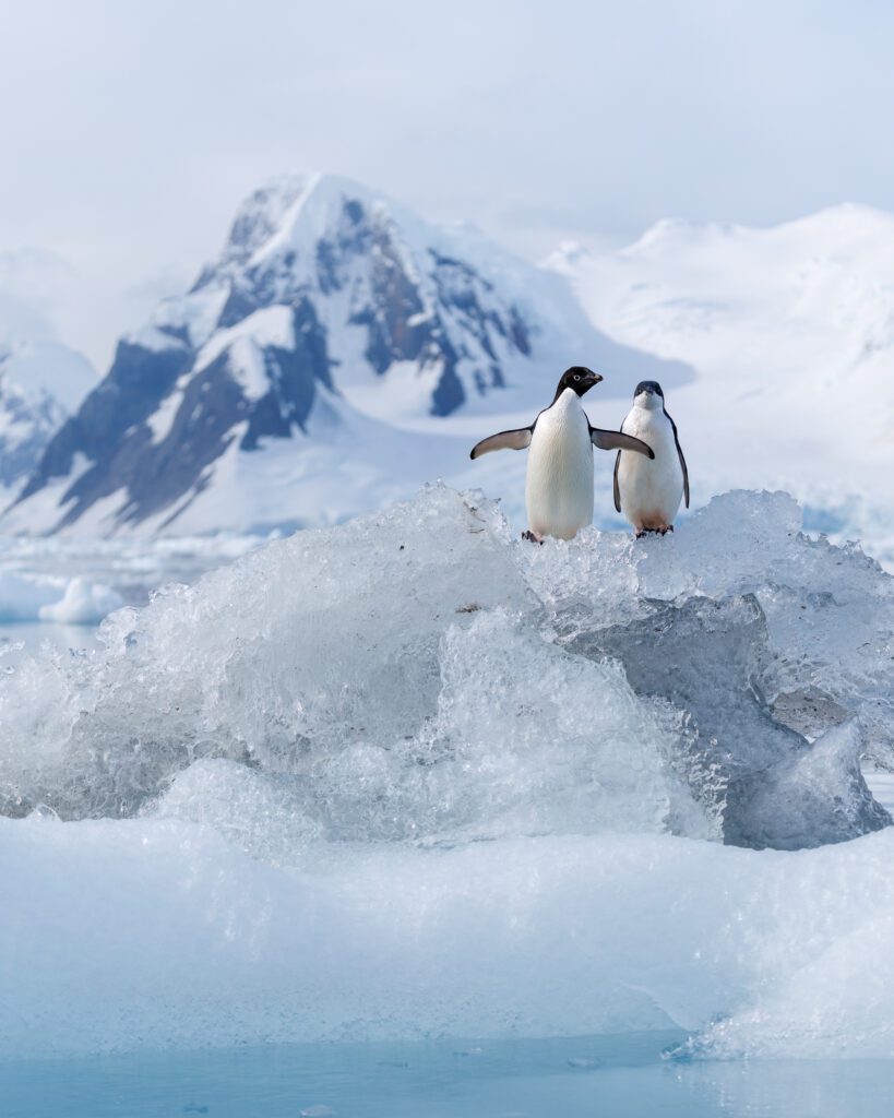
Ready to take your photography to the next level? Join me, Jeroen Van Nieuwenhove, on unforgettable photo workshops in Iceland, Greenland, Antarctica and other exciting destinations. Whether your passion is wildlife photography, bird photography, landscape adventures, or mastering drone photography, each workshop is designed to give you hands-on guidance in some of the world’s most spectacular locations.
From puffins in the midnight sun to Arctic foxes in the wild, from glaciers and volcanoes to dramatic coastlines seen by drone – these journeys are more than workshops; they’re once-in-a-lifetime experiences. Group sizes are kept small, ensuring personal mentoring and plenty of shooting opportunities.
Looking for something specific? Check out Jeroen’s…
- Wildlife & Bird Photography Workshops (Puffins, Arctic Foxes)
- Drone Photography Workshops
- Photo Workshops in Iceland
- Photo Workshops in Greenland
- Photo Workshops in Antarctica
Spots are limited – secure your place today!
Are You Looking For A Specific Photo Workshop?
All Upcoming Photography Workshops With Jeroen
Explore all upcoming photography workshops with Jeroen and take your skills to the next level in some of the world’s most extraordinary locations. From the volcanic landscapes of Iceland to the ice-filled fjords of Greenland and the wildlife-rich polar regions such as Antarctica, each workshop is designed to help you grow creatively while experiencing unforgettable moments in the field. Browse all upcoming departures below and find your next adventure!
LAST SPOTS
OPEN FOR BOOKINGS
OPEN FOR BOOKINGS
WAITLIST
WAITLIST
WAITLIST
WAITLIST
WAITLIST
WAITLIST
WAITLIST
What Previous Participants Shared About Their Experience
Choosing the right photography workshop is about more than just visiting iconic locations. It’s about experience, safety, timing, and personal guidance. Below you’ll find honest reviews from photographers who have joined me on landscape, wildlife & drone photo workshops in Iceland, Greenland and other locations. These testimonials reflect real experiences in small groups, hands-on instruction in challenging conditions, and the level of care Jeroen aims to bring to every workshop.
These reviews are verifiable on Jeroen’s public Google Business profile.


")


")


Support Jeroen’s Work
As an independent photographer, Jeroen partially relies on your support to keep producing worthwhile content such as blogs, photographs, books and much more. If you want to support his work, it is possible to do so by buying his e-books & books or prints.
You can also sign up to the newsletter to stay up to date on new blog posts, projects, workshops and other interesting information.
Thank you for considering!